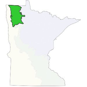
This subsection is bounded on the east by extensive conifer peat bogs. To the west, the section is bounded by areas where the dominant vegetation was tallgrass prairie.This subsection is part of a low, level lake plain (Glacial Lake Agassiz) occupied by extensive forested peatlands to the east and tallgrass prairie to the west. Low dunes, beach ridges, and wet swales mark the western edge of the subsection. They provided a barrier that reduced fire frequency and intensity, resulting in increased dominance by quaking aspen, balsam poplar, and shrubs. To the east, low ridges of water-reworked till are surrounded by herbaceous wetlands (Albert 1993). The Aspen Parklands Subsection in Minnesota is the southern end of the parkland landscape, which is more extensive to the north and west in the Canadian provinces of Manitoba, Saskatchewan, and Alberta.
Landform
This subsection is part of an extensive glacial lake plain (Glacial Lake Agassiz). It consists of two regions, a lacustrine plain to the west and a water reworked till plain on the east. Portions of the lacustrine lake plain are level, but there are also small dunes and a series of low beach ridges and swales. The beach ridges are commonly gravelly and swales often contain abundant cobbles and boulders (Cummins and Grigal,1981). The water-worked till plain has low relief due to wave action of Glacial Lake Agassiz. Topography is level to gently rolling.