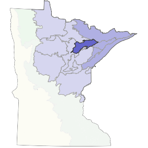
The southern boundary of this subsection is formed by Giants Range, a prominent feature on the land. The western and part of the northern boundary is formed by the limit of the Nashwauk Moraine. The Nashwauk Uplands Subsection covers 810,000 acres (1,265 square miles) in northeast Minnesota.Brown glacial sediments form the parent material for much of this subsection. Landforms include end moraines, outwash plains, and lake plains. Soils are varied and range from medium to coarse textures. One unique aspect of this region is the Giants Range, where the majority of iron mining in Minnesota takes place. It is a high narrow ridge trending northeast to southwest and caused by bedrock. This region consisted of forest communities dominated by white pine, red pine, balsam fir, white spruce, and aspen-birch. Forestry and mining are the most important land uses presently.
Landform
The subsection includes rolling till plains and moraines and flat outwash plains formed by the Rainy Lobe glacier. Most striking is the Giants Range, a narrow bedrock ridge towering 200 to 400 feet above the surrounding area. It trends southwest to northeast. Bedrock is locally exposed in the end moraines. Small bogs and potholes are common.