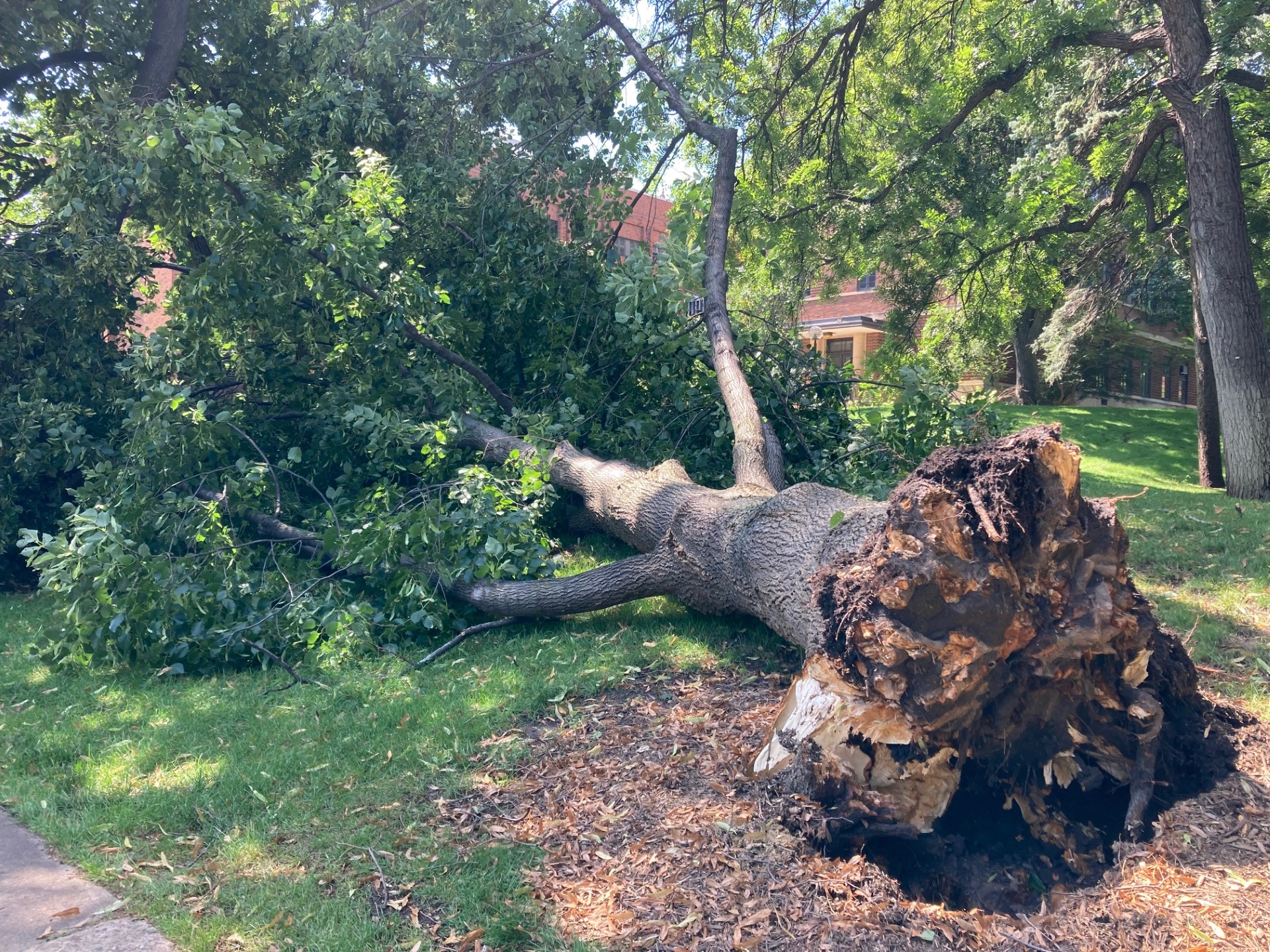
Tree Down on the U of M St. Paul Campus from the August 5, 2024 Event
Image credit: MNDNR State Climatology Office
Overview
A warm front separating muggy air from cooler air led to widespread soaking rains in central and southern Minnesota, with an outbreak of tornadoes affecting some communities in the far south-central part of the state.Rains with isolated thunderstorms spread into western Minnesota early on the morning of Monday August 5, 2024, as a humid air mass straddled a a warm/cool boundary over far southern Minnesota. A disturbance passing along that boundary helped ignite waves of thunderstorms, some of which produced very heavy rain. For much of the day, the heaviest rains were centered near Interstate 94, lifting north for a time during the late morning and early afternoon, but generally anchored from near Alexandria into the northern Twin Cities suburbs.The general pattern through the day was for strong thunderstorms to develop initially along or near I-94, and then to expand but weaken slightly, such that a large, more or less continuous area of moderate to heavy rain and isolated thunder covered a wide portion of central and southern Minnesota for much of the day. The final wave of this activity formed during the late afternoon and produced intense, wind-driven rains, often falling in sheets during the early evening hours. The saturated ground made some trees a little wobbly, and wind gusts up to 40 mph during the final waves of rain and storm led to some trees being uprooted. Typically a 40 mph wind would not knock over a tree, but saturated ground allows root systems to slide, making the trees unbalanced and easier to topple.Also during the early evening hours, new, very intense thunderstorms formed in or close to a steamy air mass in far southern Minnesota. These storms generally formed south of the Twin Cities, and began producing confirmed tornadoes, some of which were reported to be large and completely wrapped in rain at times. These tornadoes were reported near St. James, Janesville, Wells, Emmons, and Austin. The National Weather Service offices in the Twin Cities and La Crosse confirmed seven tornadoes in Minnesota. Mercifully,they did not do a tremendous amount of damage, beyond trees, power lines, and small structures. They all were rated either EF-0 or EF-1 (the scale goes up to EF-5).Rainfall totals of 1.5 to 3 inches were common along and near I-94 between the Twin Cities and western Minnesota, with some CoCoRaHS observers near Alexandria, Glenwood, and Paynesville reporting 3.5 to 4 inches. St. Cloud recorded a daily record of 2.81 inches, the Twin Cities recorded 1.40 inches, and 1.22 inches fell at the Rochester airport.Duluth recorded just 0.13 inches, and this system produced no rain at International Falls.August 9, 2024KAB and PJB